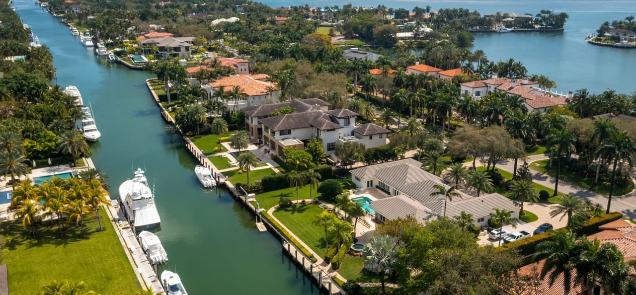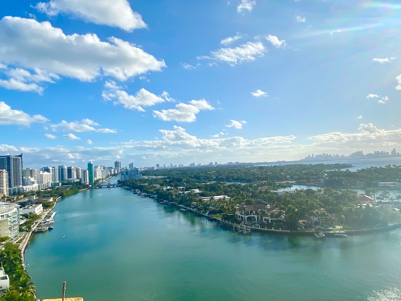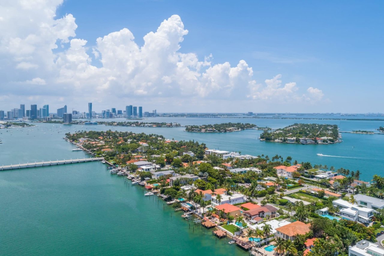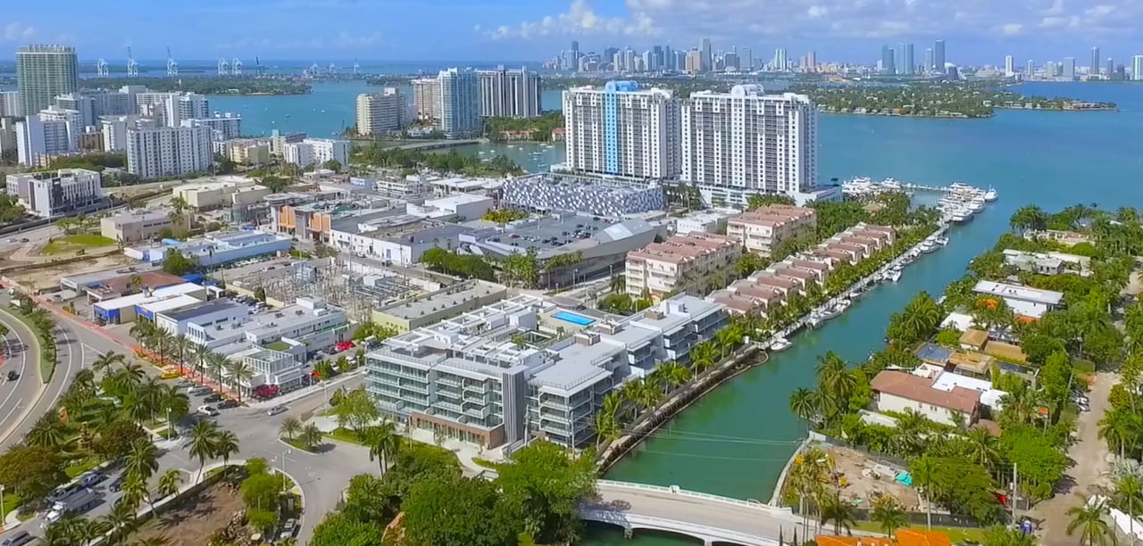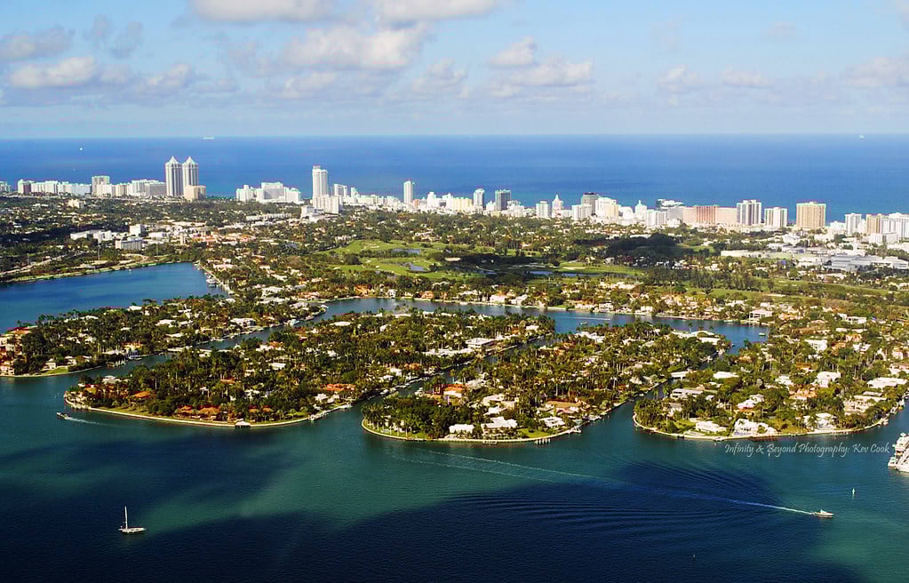
At 2 p.m. on January 28, 2026, the county shut down westbound traffic from Miami Beach to San Marino Island for five hours. Eastbound and westbound lanes between Biscayne Island and San Marco Island closed too, with an exception carved out for San Marco Island residents who could still get home. Biscayne Island itself stayed untouched. The reason was a visiting dignitary, not construction, but the closure is a clean snapshot of something residents already know in their bones: there is exactly one road connecting these six islands to everything else, and when it stops, there is no quiet detour through a side street.
That single-corridor reality is worth sitting with right now, because two very different projects are underway on the same stretch of asphalt and bridge deck, and they are not moving at the same speed. One is finished. The other has just been pushed out by years. If you live on Di Lido, Rivo Alto, San Marino, Belle Isle, Biscayne Island or San Marco, the causeway under your tires looks better than it did two years ago. What's holding it up does not.
The Part That's Actually Done
The City of Miami Beach wrapped its milling and resurfacing work on the residential roadways of Di Lido, Rivo Alto and San Marino islands back in 2024. That's the visible fix: a uniform, fresh layer of asphalt across the three islands' streets, the kind of project that extends pavement life by years without touching anything structural underneath. As of the city's own project updates in March 2026, the contractor was still coordinating pavement marking installation on all three islands as the final closeout step before the project is formally done.
That's it, though. Resurfacing addresses what you drive on. It has nothing to do with what you drive over.
The Part That Isn't
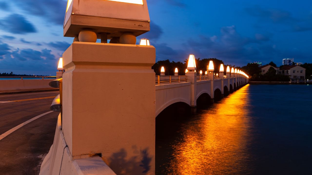
The Venetian Causeway carries 12 bridges: 10 fixed spans and two bascule bridges that lift for boat traffic. All of them are designated historic landmarks by the cities of Miami and Miami Beach. They were built with an original design life of 50 years, which means the math on these structures ran out sometime in the mid-1970s. They have been carrying commuter traffic, joggers, cyclists and the occasional wedding motorcade for roughly half a century past their intended retirement date.
Miami-Dade County knows this, and has known it for a while. The bridge replacement project has been in the design phase since at least April 2023, when the county held a public meeting on the plans. The most recent public meeting happened on March 18, 2026, a hybrid session held from 7 to 9 p.m. at the 1000 Venetian Way clubhouse, where the design team walked residents and business owners through where things stand. According to the county's own project page, the design phase is now expected to wrap by the summer of 2026, with construction advertisement to follow once permitting is squared away.
Here's where the timeline gets interesting, because the county's original public schedule and the one reported by Miami Today in 2025 do not match:
| Milestone | Original 2023 target | Where it stands as of 2026 |
|---|---|---|
| Design phase complete | End of 2024 | Now targeted for summer 2026 |
| Permitting complete | End of 2025 | Still pending, tied to design closeout |
| Construction start | Early 2026 | Not scheduled, expected roughly 3 years after design finishes |
| Full project completion | Not publicly stated | Beyond 2032, per county contract documents |
That last row comes from a contract amendment Miami-Dade commissioners voted on in 2025, which raised the county's design contract with engineering firm EAC Consulting by $1.3 million, bringing total design costs to $15.1 million. At the time of that vote, EAC was about 60% finished with design work. The memo behind the amendment cited environmental, survey, aesthetic, landscaping, roadway design and geotechnical issues that surfaced as work progressed, along with the need for roadway design adjustments specific to the residential islands. Construction, once it starts, is expected to take about four years on its own.
Add it up and you get a project that residents were first told would break ground in early 2026 now sitting on a completion horizon past 2032. That's not a rounding error. It's most of a decade.
What residents get for the wait is real, at least on paper. The new bridges are designed with a 75-year lifespan instead of 50, built 16 feet wider to give joggers, cyclists and drivers more separation than the current narrow spans allow, and engineered with higher vertical clearances and added resiliency components at the bridge approaches to account for sea-level rise. The county also plans to restore some of the causeway's spoil islands to closer to their original size, reversing decades of erosion and storm damage. The design intent is to preserve the historic character of the crossing while replacing what's actually failing underneath it.
What a Single Corridor Means Day to Day
The January closure is a useful stress test for what construction-era disruption could eventually look like, precisely because it was small and temporary and still required careful sequencing. Biscayne Island, at the western end near the toll plaza, was left alone. San Marco Island residents got an exception to keep moving through their own stretch. Everyone else lost westbound access for five hours, and normal bridge-opening schedules were suspended, meaning boats and cars alike had to wait for off-cycle openings.
The county has said publicly that once construction actually begins, "at no point will traffic be completely impeded," with temporary bridge structures and open lanes kept in place throughout. That commitment matters, but the January closure is a reminder that even routine, non-construction disruptions on this causeway ripple across all six islands differently depending on which bridge segment you're crossing.
The toll structure is part of that same daily mechanics. The Venetian Causeway toll plaza sits on Biscayne Island, the westernmost of the islands, and processes two-way traffic between the mainland and the beach side. Cash hasn't been accepted there for a while. Everything runs through SunPass or Toll-by-Plate. The county reset toll rates on October 1, 2025, as part of its standard annual cycle. For property owners, there's a Venetian Causeway Property Owner Plan that provides unlimited toll passage at no cost, available to owners and their children under 23 who live with them on the causeway, provided you can show current vehicle registration matching the owner's name and proof of ownership through a property tax bill or folio number. Renewal opens every July 10, with the plan year running from October 1 through the following September 30.
The Rhythm That Doesn't Wait on Any of This
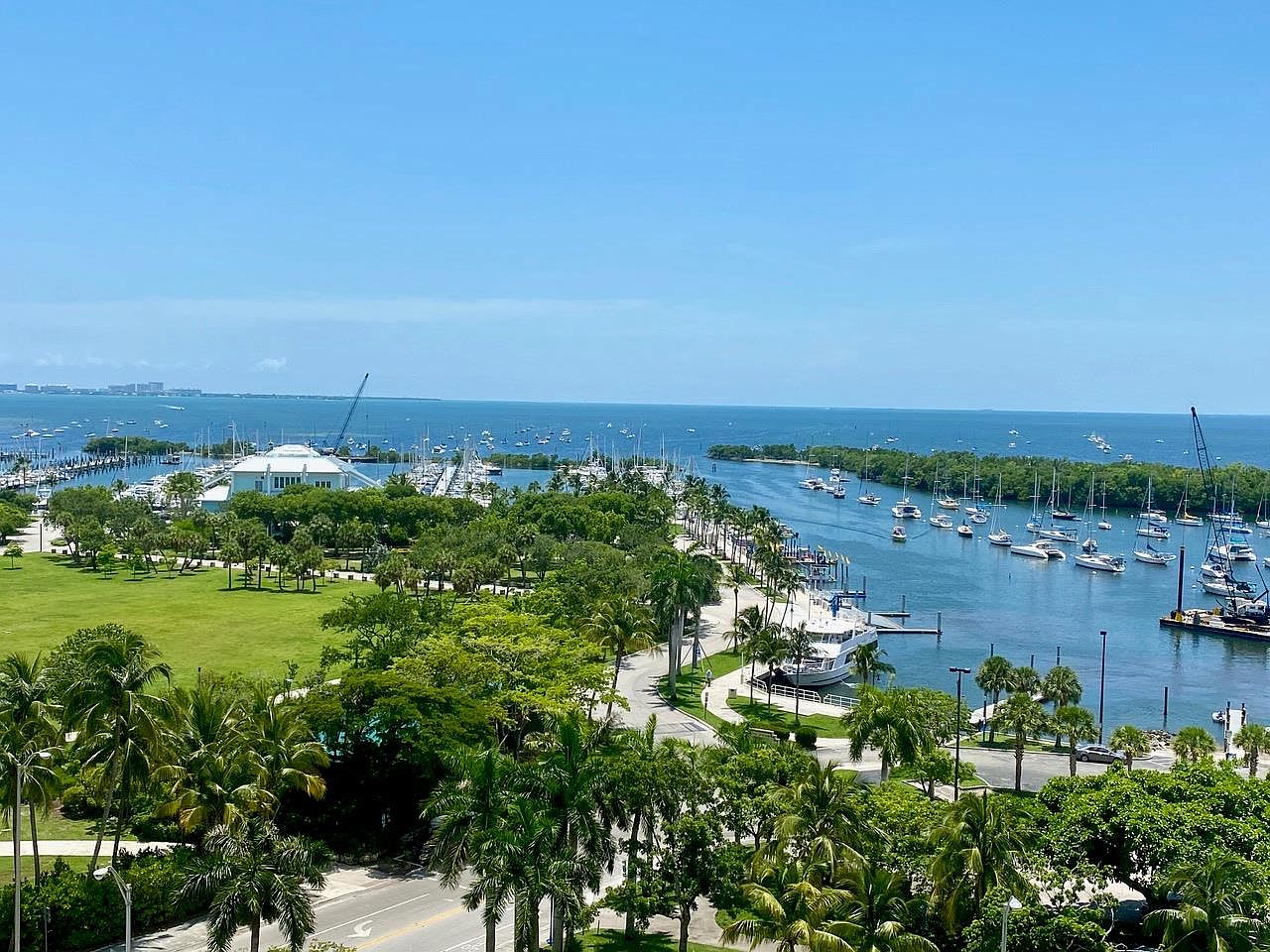
None of the bridge timeline changes what the causeway is used for every single day. It remains the shared-use spine of the islands: a route for morning joggers, evening cyclists, and the many residents who use the Citi Bike bike-share program to get across. On the western end sits Venetian Causeway Park, where the trails open onto grassy stretches with skyline views that make it a regular sunset stop. On the eastern end, Belle Isle Park anchors Belle Isle's daily foot traffic, including its Bark Park, split into separate enclosures for small and large dogs, which functions as the closest thing the islands have to a town square for anyone with a leash in hand.
That daily use is exactly why the bridge widening matters more than it might look on a spec sheet. Sixteen additional feet isn't an abstract engineering upgrade. It's the difference between a cyclist and a delivery truck sharing six inches of shoulder or six feet.
For now, the surface is smooth, the toll plaza runs as it always has, and the design team is finishing its work ahead of a summer 2026 milestone that county documents describe but haven't yet turned into a construction date. The next real update will likely come out of whatever follows this year's design closeout. Residents who want to track it directly can follow Miami-Dade's Venetian Causeway Bridge Replacement Project page for meeting notices and design documents as they're released.
If you're weighing what any of this means for a specific address on the islands, whether it's dock access, resale timing around construction phases, or how a particular bridge segment affects daily commute patterns, that's a conversation worth having directly. The APT Team works these waterfront blocks year-round and can walk you through what's public record and what it actually means for a property you're watching. Let's Connect.